
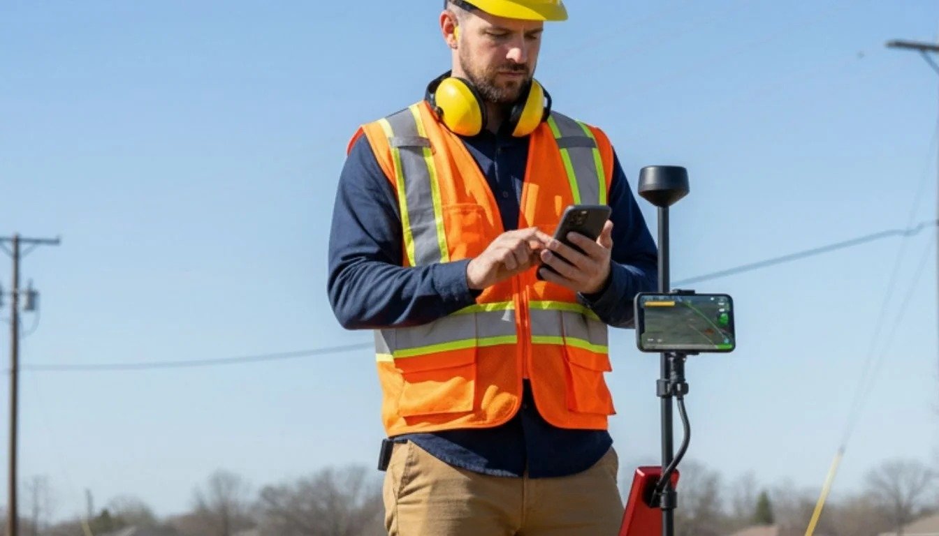
Geolantis is excited to introduce GeolantisNEO, a modern, app-first solution built for construction crews, utility professionals, surveyors, and field teams who need accurate spatial data directly from their phones or tablets.
GeolantisNEO simplifies field data collection by allowing users to load PDF plans, capture precise field measurements, document site conditions with photos, and synchronize information back to the office in real time. Whether you’re working on construction projects, utility locating, or infrastructure maintenance, GeolantisNEO helps reduce paperwork while improving data quality.
Designed to work with virtually any GNSS receiver, GeolantisNEO gives field teams the flexibility to use their existing hardware while benefiting from centimetre-level positioning accuracy. Teams can quickly begin capturing reliable field information without lengthy setup or complicated workflows.
The platform helps organizations improve productivity by reducing documentation time, increasing field efficiency, and creating accurate, traceable project records that can be exported to CAD, GIS, or PDF formats.
Getting started is simple. Download the app, connect your preferred GNSS receiver—or use your phone alone—load your plans, and begin capturing accurate field data within minutes.
GeolantisNEO is available with a Free plan that includes core field capture, cadastral parcels, and stakeout capabilities. As your projects grow, you can easily upgrade to Basic, Pro, or Expert plans to unlock advanced workflows and professional features.
This launch represents another step in helping field teams transform everyday work into trusted spatial intelligence. Start with GeolantisNEO today and discover a faster, smarter way to collect and manage field data.
Try GeolantisNEO today and experience faster field data collection with the tools your team already carries every day.