NEW · GEOLANTISNEO
Field data you can trust.
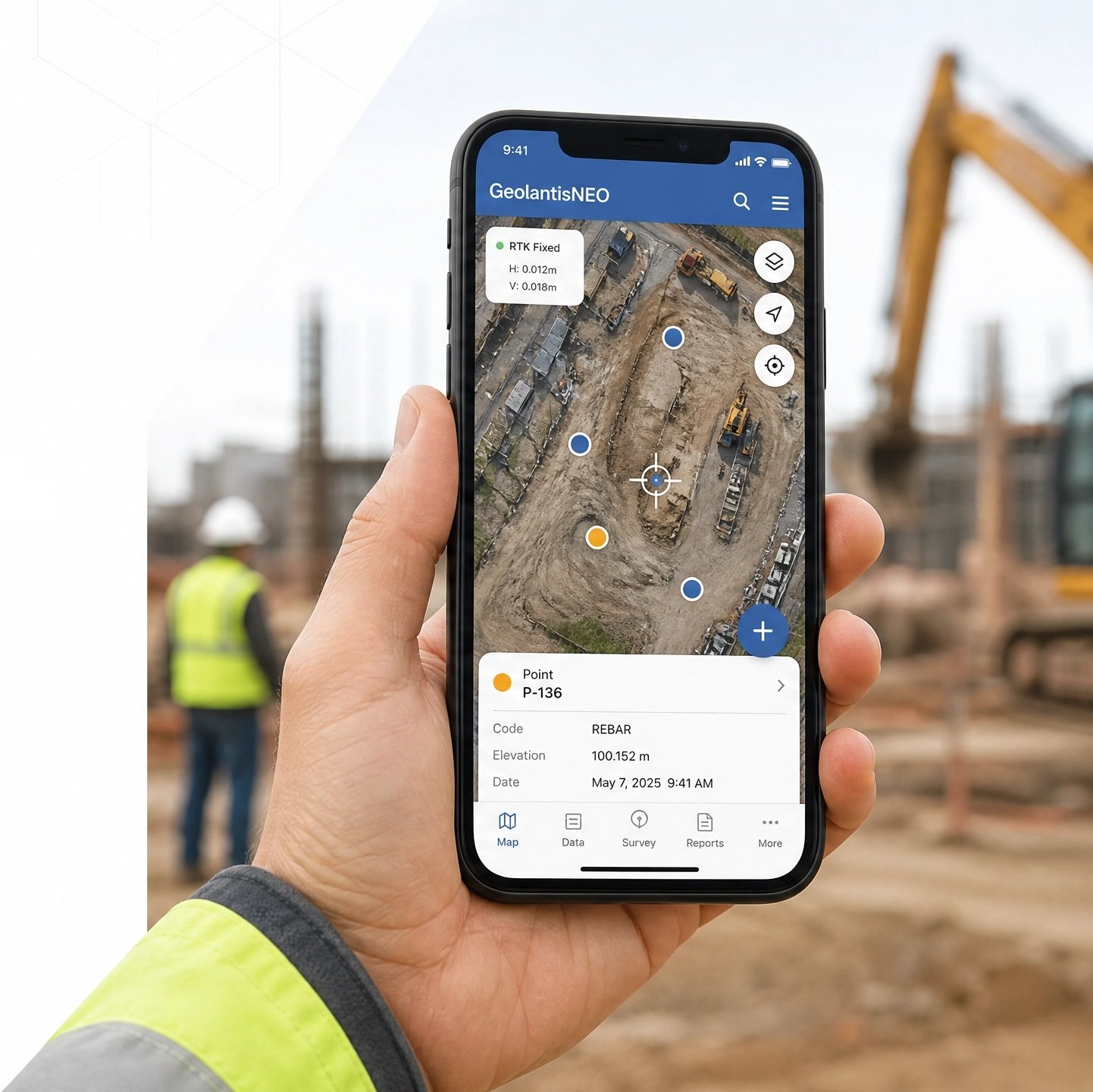
Capture accurate field data, evidence site conditions, create reliable spatial records – all from the phone your crew already carries.

Free download. No credit card. Works with any
GNSS receiver.

NEW · GEOLANTISNEO
Capture accurate field data, evidence site conditions, create reliable spatial records – all from the phone your crew already carries.
Free download. No credit card. Works with any
GNSS receiver.

faster field measurements
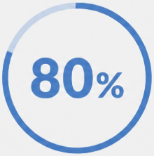
less documentation time
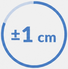
positioning accuracy
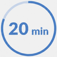
to be productive
Get from the field to finished faster with Geolantis NEO.

Download free from App Store or Google Play

Pair any GNSS receiver, or use your phone alone
Load your PDF plans or start a new capture on the map
Sync to the office. Export to CAD, GIS, or PDF.
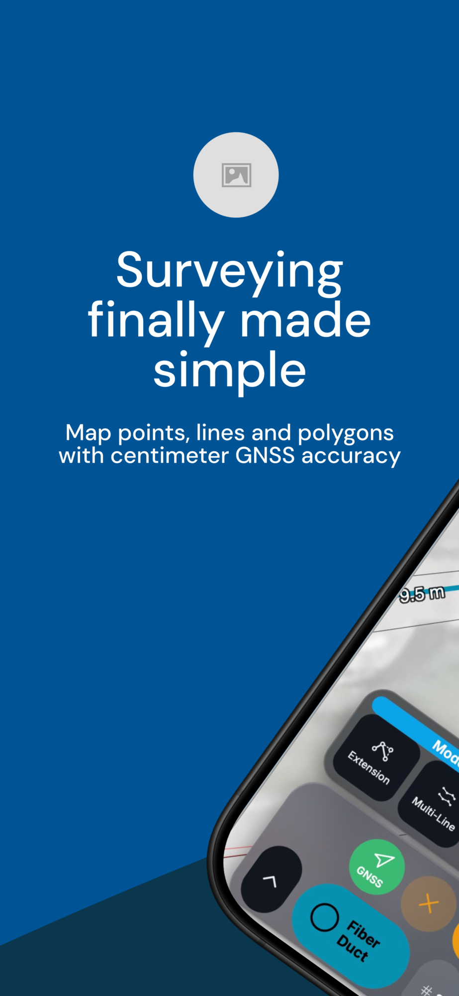
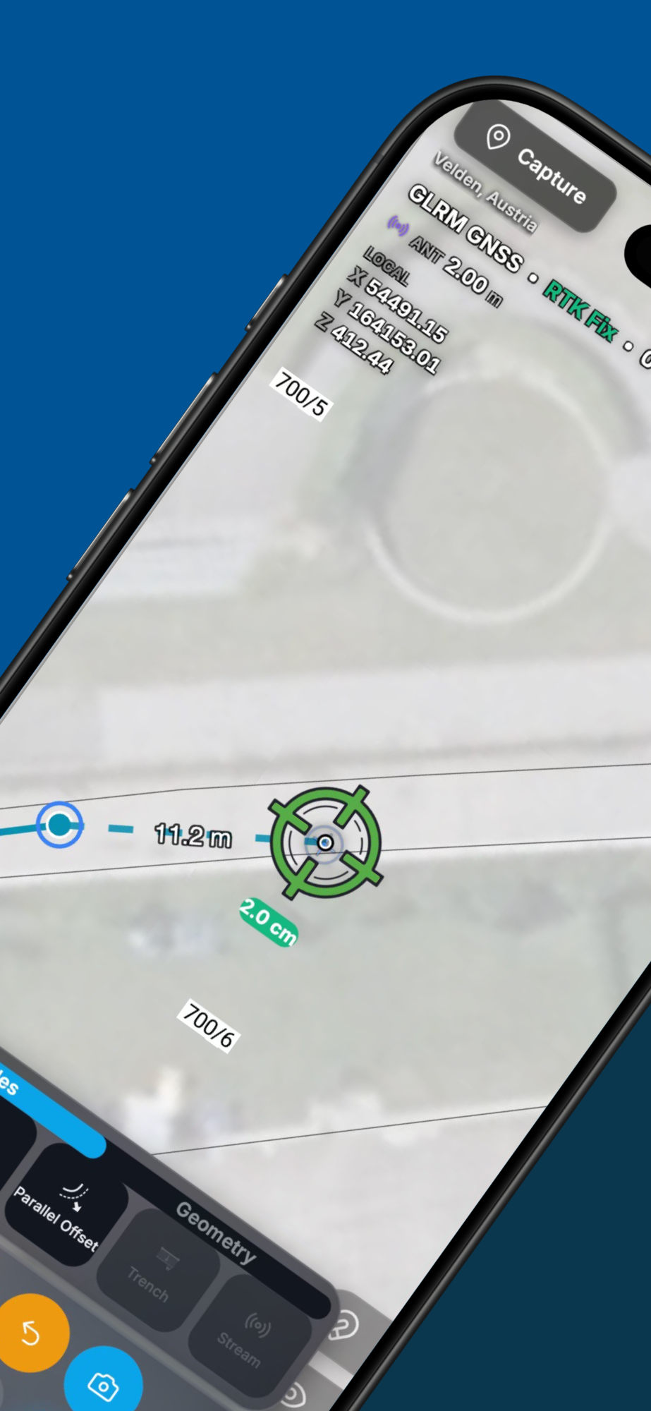
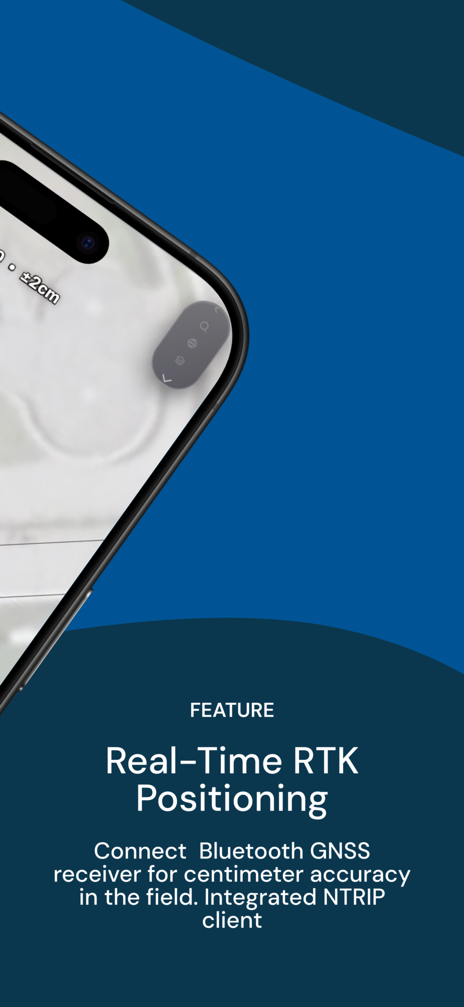
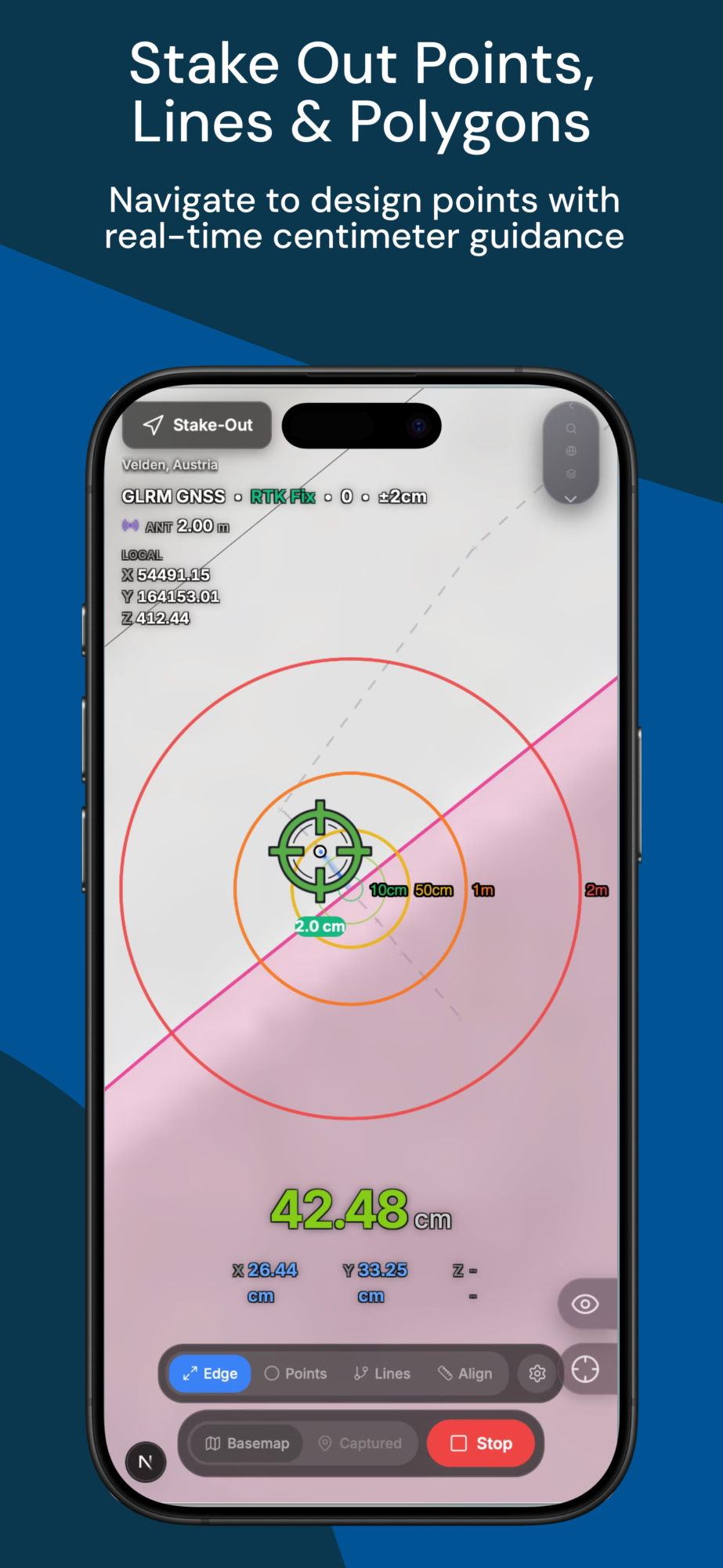
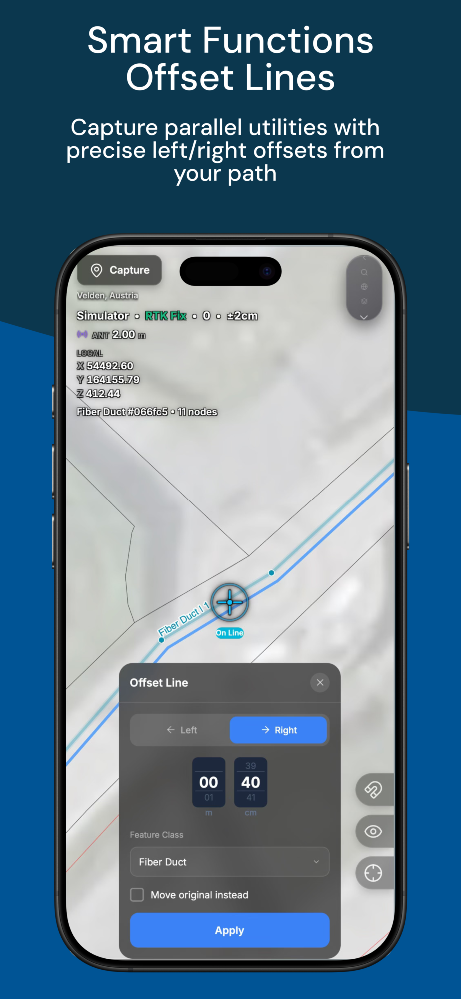
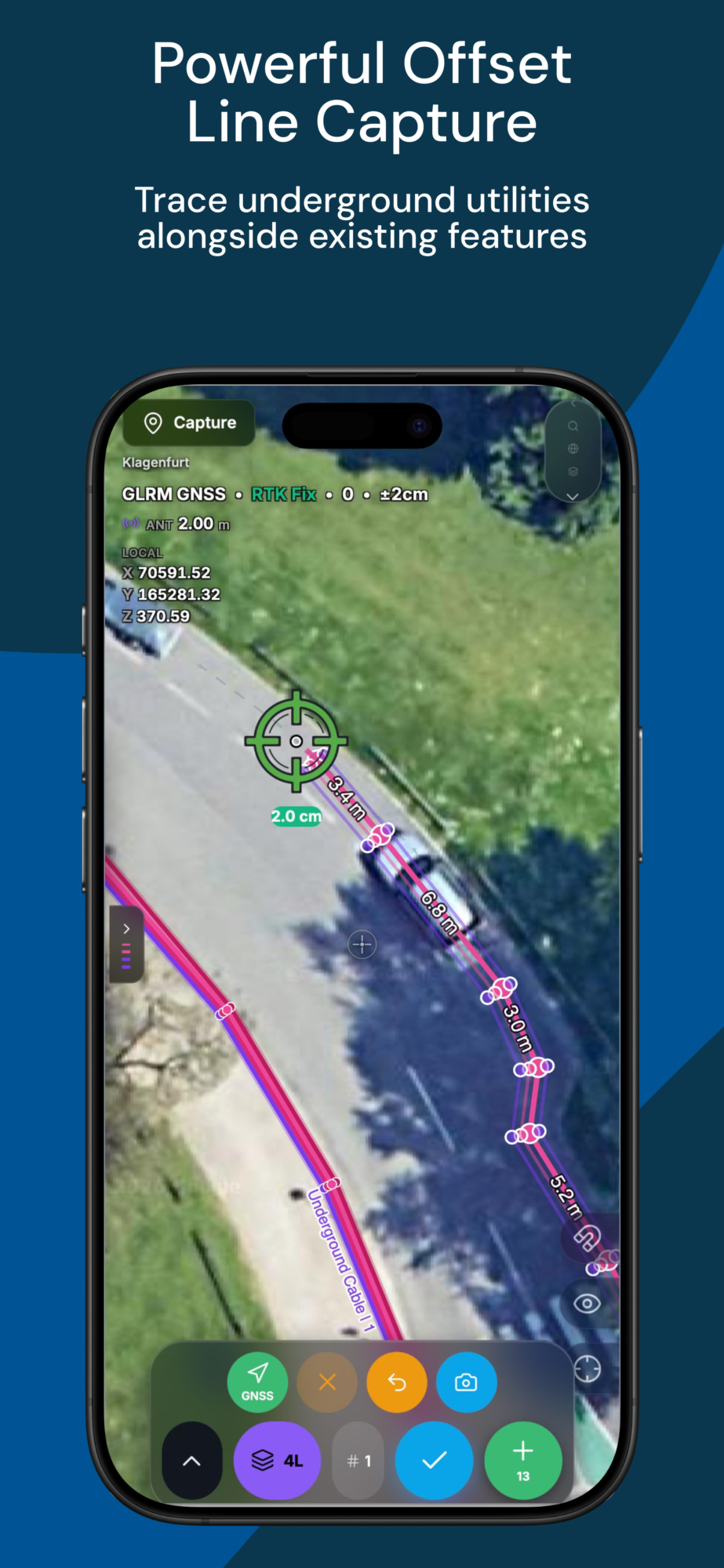
The right tools for your workflow, wherever your projects take you.
Fast field workflows
GNSS positioning made simple
Works offline
Cloud sync & easy export



Advanced data management
Team collaboration & roles
Powerful reporting & analytics
Scales with your business



Head of Digital Construction
DPB
PRICING QUICK-VIEW
Choose the plan that fits your team and scale your documentation efficiency.


1 project
Up to 500 points / project
Basic exports (PDF, CSV)
Community support

Unlimited projects
Up to 500,000 points / project
Advanced tools & integrations
Priority support

Unlimited projects
Unlimited points / project
Custom integrations
Dedicated support
All plans include access to GeolantisNEO core features. Prices excl. VAT.

Yes. The Free tier includes core capture,cadastral parcels, and stakeout. Upgrade any time to Basic.
Any. Stonex, Leica, Trimble, Emlid,
PPM, or our pocket-sized GLRM device. Bring your own hardware.
NEO is the app-first entry point.
Geolantis360 is the enterprise-grade platform. Start with NEO, scale with 360.
Cloud sync is automatic. Works offline, catches up when you reconnect.
Yes. DXF, GeoJSON, Shapefile, PDF reports.